MERCATOR’S GLOBE
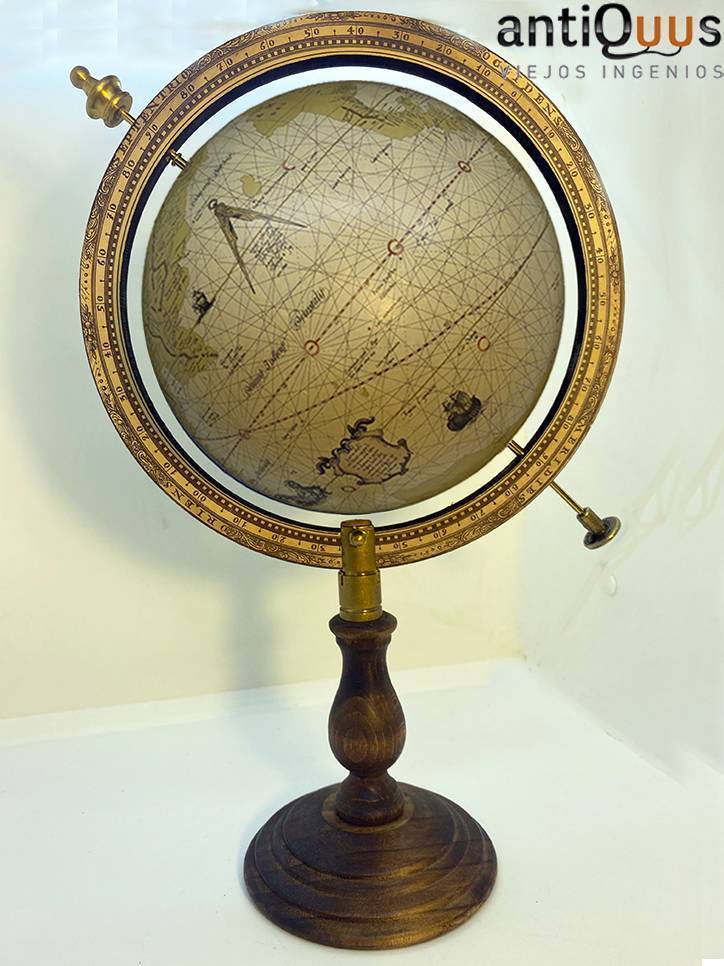
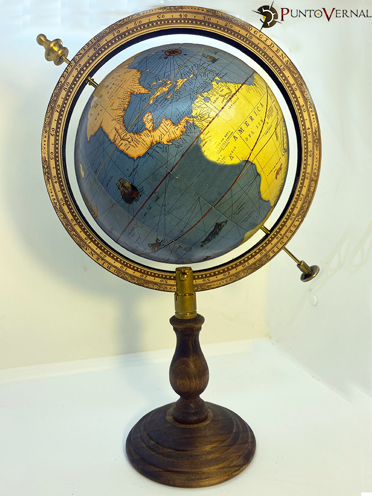
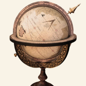
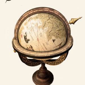
Mercator’s globe. Mercator was born in Flanders (Belgium) on March 5, 1512, and is one of the most remembered and famous cartographers. He studied mathematics, astronomy and geography. Throughout his life he made maps of Flanders, Great Britain, the Holy Land and Europe, a series of maps of the ancient world and a modern atlas, as well as globes like the one we present to you and celestial spheres. In them he abandoned the geographical conceptions of the Middle Ages and the Ptolemaic tradition, reflecting the scientific and technical advances of the Renaissance and the convergence of cartography with the practical needs of navigation.
The Mercator projection is based on the projection of a cylinder tangent to the spherical equator, distorting the areas of the territories represented by disproportionately enlarging those closest to the poles, in order to make the meridians appear as straight vertical lines, which cut the parallels at right angles, and was decisive in facilitating sea navigation for those adventurers who in his century were still determined to search for new worlds.
Although his map was one of the most accepted, it is not completely faithful due to the enormous difficulty of representing the geoid shape of the Earth on a plane.
In 1541, he made this globe where rhumb lines or loxodromic lines appear for the first time, following the theories of the mathematician Pedro Nunes.
Measurements:
Large
Height: 44 cm
Diameter: 26 cm
Small
Height: 34.5 cm
Diameter: 20 cm
VAT INCLUDED
https://en.wikipedia.org/wiki/Gerardus_Mercator

